 http://i25.photobucket.com/albums/c98/bo_num/th_21782.jpg[/pic]
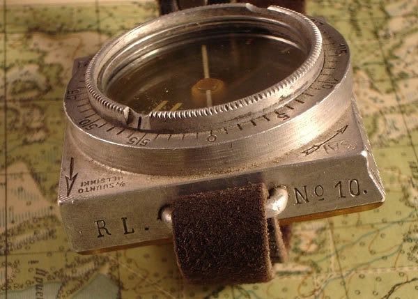 http://i25.photobucket.com/albums/c98/bo_num/th_compass-markings.jpg[/pic]
 http://i25.photobucket.com/albums/c98/bo_num/th_marssikompassi_kntpuoli.jpg[/pic]
 http://i25.photobucket.com/albums/c98/bo_num/th_marssikompassi.jpg[/pic]
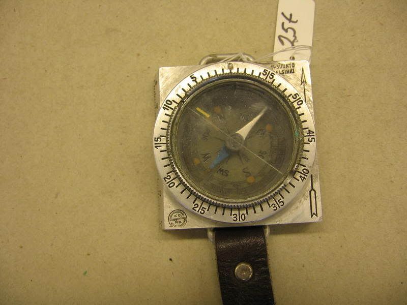
This shows that this compass is divided into 60. On the back is a table, which helps to convert the degrees to angular miles. In those days of WW2 Soviet Union and Finland’s artillery (Finland inherited it from Imperial Russia) an angular mile in artillery was 1/6000 of a circle. So in this compass 60 multiply 60 makes 360 degrees and 6 degrees are 100 angular miles and 360 degrees are so 6000 angular miles (it is written in the table to help). So it is possible to give artillery rough co-ordinates. As well there are the map ratio 1 to 42000 and 1 to 50000 to measure the distances on a map used in those days. In the last picture Finnish infantry gets ready to cut a Soviet maintenance road during a big Soviet spring attack in Perkjarvi (Eastern Karelia) in 1942. The soldier on the right carries a marching compass on wrist. And in the back a Mosin.

